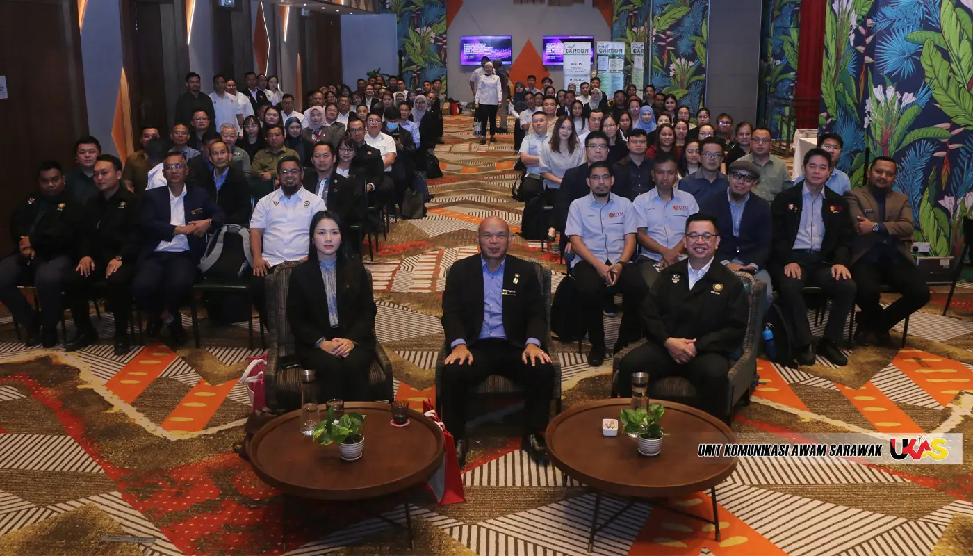
MIRI – A national-level scientific seminar focusing on forest carbon stock calculation convened in Miri this week, drawing 150 specialists in geospatial science, climate change and forest monitoring. The event, organised by the Sarawak Forest Department (JHS) at the Mercure Hotel, highlighted the growing importance of advanced technologies in supporting sustainable forest management.
The seminar centred on the use of remote sensing methods and LiDAR (Light Detection and Ranging) technology to improve the accuracy of carbon stock assessments. These tools are increasingly seen as vital in complementing traditional field-based measurements, which, while precise, are often costly and time-consuming.
Opening the seminar, Miri Regional Forest Officer Liam Dibor stressed the significance of the gathering, noting that it brought together experts from multiple disciplines to address pressing issues linked to climate change and forest resource management.
“JHS is committed to promoting the use of modern and data-based scientific methods to ensure the integrity of the state’s forest management,” he said. He emphasised that forests act as natural carbon sinks, absorbing greenhouse gases and playing a crucial role in global climate regulation.
Accurate carbon stock data, he explained, is essential not only for environmental monitoring but also for the credibility of Malaysia’s reporting under international frameworks such as the United Nations Framework Convention on Climate Change (UNFCCC) and the Reducing Emissions from Deforestation and Forest Degradation (REDD) mechanism.
Reliable figures also underpin the development of the carbon credit market, which could provide new income opportunities for the state.
Dibor highlighted that remote sensing enables large-scale monitoring of forest cover and land use changes, while LiDAR produces three-dimensional models of forest structures, including canopy density and tree height. Together, these technologies enhance the precision of carbon stock estimates and streamline monitoring processes.
The seminar featured five technical presentations by local experts, including PM Dr Muhammad Zulkarnain Abd Rahman, Wan Hazli Wan Kadir, Dr Hamdan Omar, Dr Alvin Lau Meng Shin and Norhakim Yusof.
Their sessions covered topics such as geospatial applications, tree census methodologies, allometric modelling and the integration of geospatial artificial intelligence (GeoAI) in forest monitoring.
Also in attendance were Miri Division Resident Representative Doris Urai Langat and Sarawak Forest Department Carbon Unit Head Dr Malcolm Demise, underscoring the importance of the event at both administrative and technical levels.
The Sarawak Forest Department has been actively promoting forest carbon initiatives in recent years, aligning with the state’s broader strategy to combat deforestation and support sustainable land use.
According to forestry reports, Sarawak’s efforts are part of a long-term plan to position the state as a leader in forest carbon management and sustainable development in Southeast Asia.
By integrating cutting-edge technologies with established practices, the seminar reinforced Sarawak’s commitment to advancing scientific approaches that strengthen both environmental stewardship and economic opportunities through carbon trading.


